by Iris Automation | Jan 19, 2022
In our tech-driven age, it comes as no surprise that more and more companies are using drones for geographical mapping and data collection purposes. However, selecting a drone for building maps and collecting data isn’t easy. After all, there are many...
by Iris Automation | Dec 28, 2021
What if we could do more than just Detect and Avoid with Casia? It’s a question that we’re constantly asking ourselves here at Iris Automation. And with the New Year upon us, it feels like it’s even more appropriate to ask than usual. 2021 was a big...

by Iris Automation | Dec 17, 2021
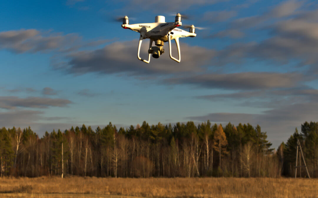
The forestry industry is going through a significant transformation, as companies are increasingly looking for new ways to survey land and maintain it. To this end, one of the most exciting technologies that public and private companies are now using to...
by Iris Automation | Nov 30, 2021
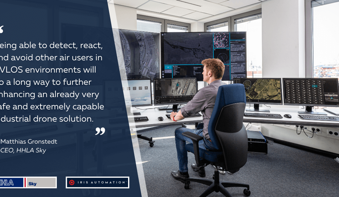
Guest post by Matthias Gronstedt – CEO. HHLA Sky GmbH Since its inception, development and integration within live port operations in Hamburg, the HHLA Sky scaleable and industrial drone solution has continued to mature exponentially. Our unique, first of a kind...
by Iris Automation | Nov 19, 2021
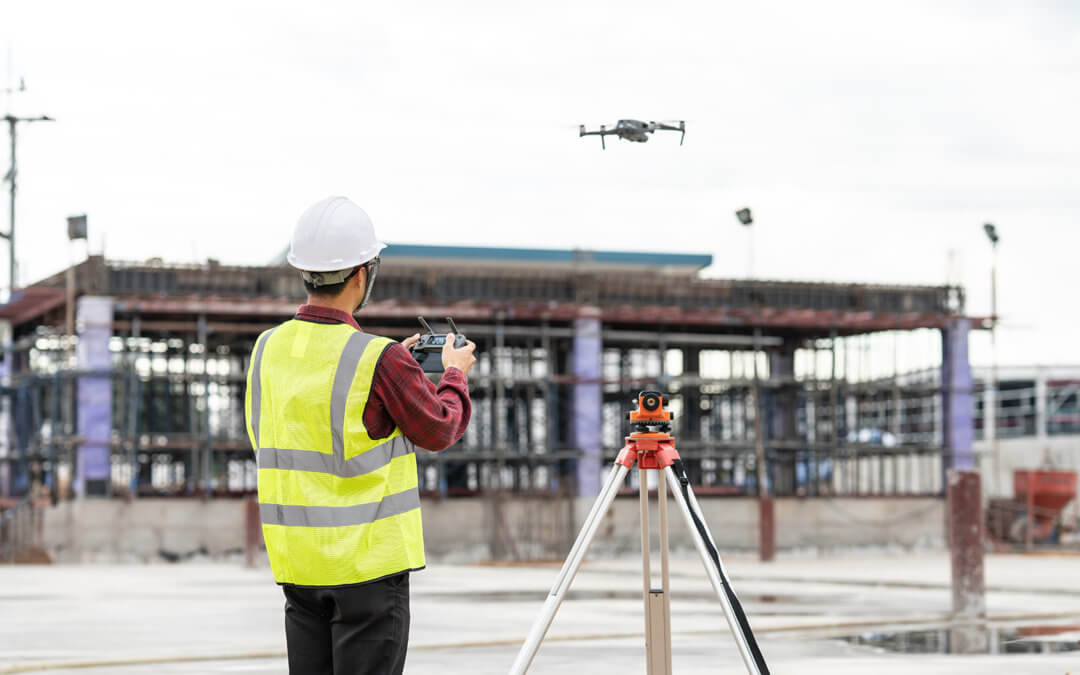
Surveyors face a variety of challenges with land assessment. Limited accessibility, topography changes, weather events, and poor visibility can make surveying a difficult and time-consuming task. To streamline surveying, many industry professionals are turning...

by Stephanie Lacy-Price | Aug 13, 2021
by Daniel Jenkins, Aviation Policy Manager at Iris Automation Here’s a high level introduction to the Joint Authorities for Rulemaking of Unmanned Systems (JARUS) Specific Operations Risk Assessment (SORA), a risk mitigation and assessment methodology for UAS...